Unit 2 Sailing the oceans Warming up& Reading 课件(36张PPT)
文档属性
| 名称 | Unit 2 Sailing the oceans Warming up& Reading 课件(36张PPT) |
|
|
| 格式 | zip | ||
| 文件大小 | 3.1MB | ||
| 资源类型 | 教案 | ||
| 版本资源 | 人教版(新课程标准) | ||
| 科目 | 英语 | ||
| 更新时间 | 2019-10-26 11:27:15 | ||
图片预览



文档简介
(共36张PPT)
人教2013版高中英语选修九
Unit 2 Sailing the oceans
Warming up Pre-reading
& Reading(1)
Revision
latitude
encyclopedia
exploration
celestial
equator
horizon
nautical
precise
纬度
百科全书
探险,探测
天上的
赤道
地平线,视野
海上的,航海的
精确的,准确的
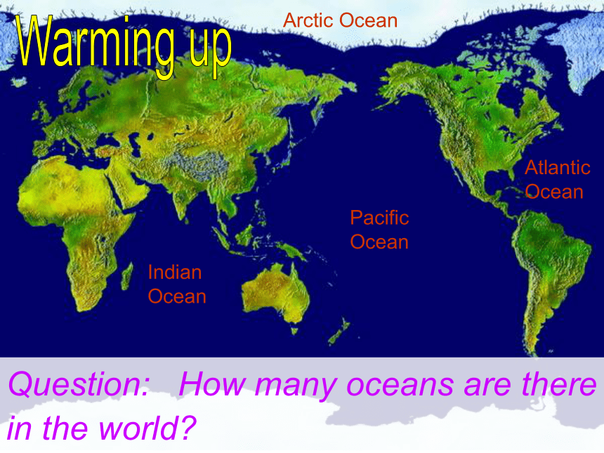
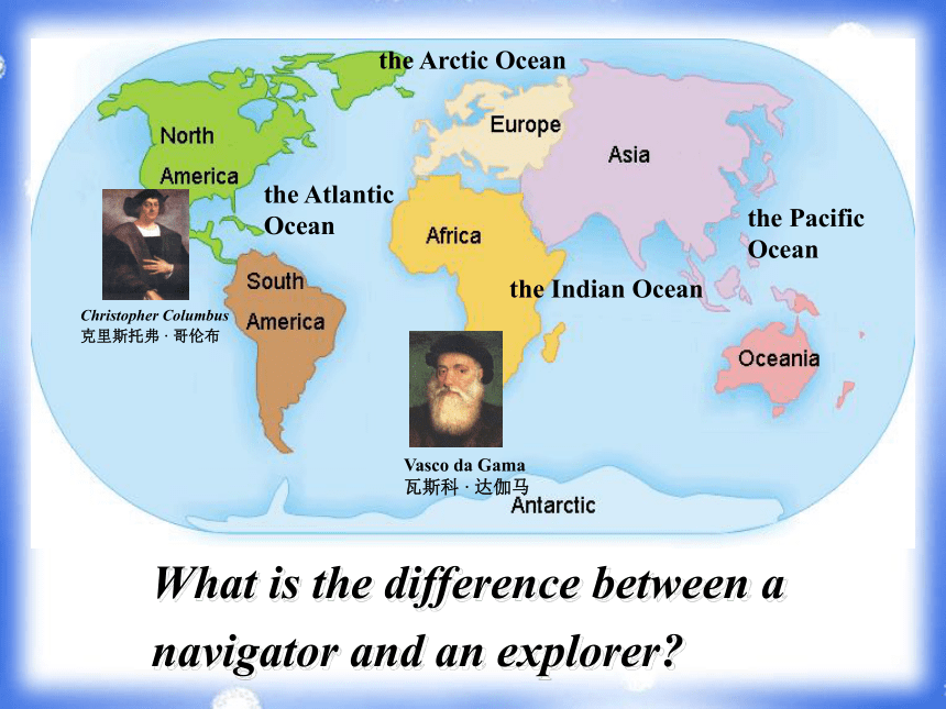
Indian Ocean
Pacific Ocean
Atlantic Ocean
Arctic Ocean
Question: How many oceans are there in the world?
Warming up
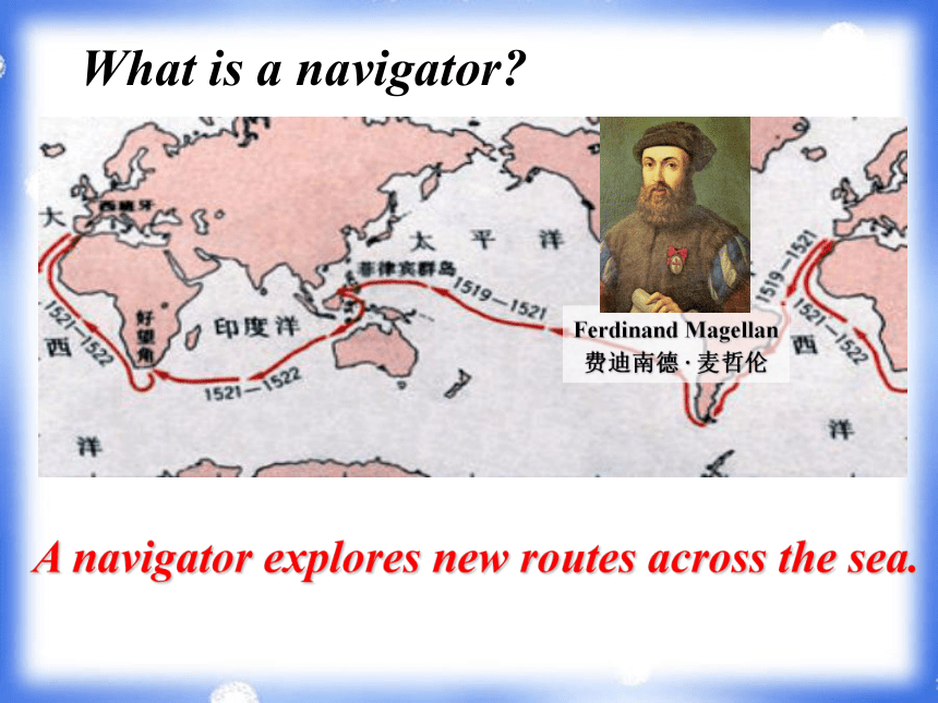
Ferdinand Magellan 费迪南德 · 麦哲伦
What is a navigator?
A navigator explores new routes across the sea.
the Arctic Ocean
the Indian Ocean
the Pacific Ocean
the Atlantic Ocean
Vasco da Gama 瓦斯科 · 达伽马
Christopher Columbus
克里斯托弗 · 哥伦布
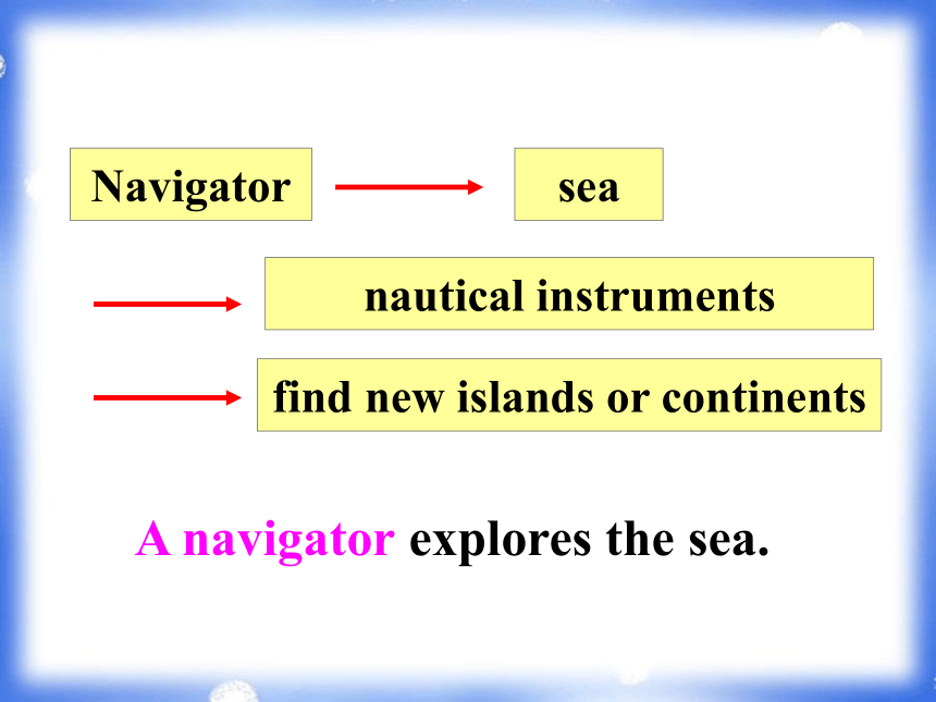
What is the difference between a navigator and an explorer?
Navigator
sea
nautical instruments
find new islands or continents
A navigator explores the sea.
Explorer
land
use compass and landmarks
find new places within an already identified island or continent
An explorer discovers new places on land.
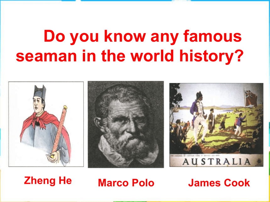
Zheng He
Marco Polo
James Cook
Do you know any famous seaman in the world history?
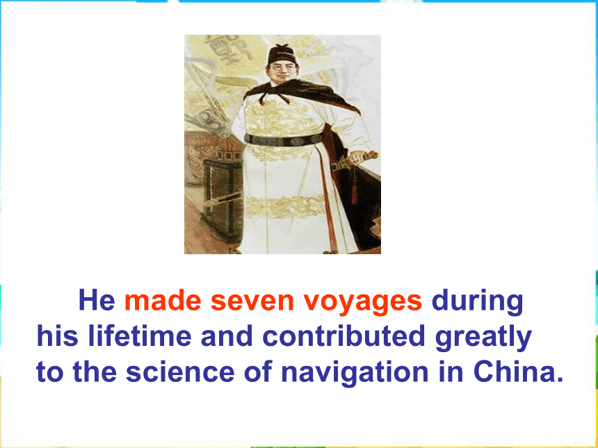
Zheng He
Is he a navigator or an explorer ?
He made seven voyages during his lifetime and contributed greatly to the science of navigation in China.
Pre-reading
The four basic instruments for navigation: Sinan, Inch Astrolabe, Sextant and nautical map.
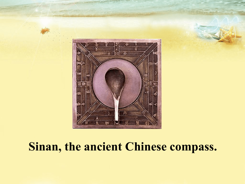
Sinan, the ancient Chinese compass.
astrolabe
sextant
nautical chart
Sailing the oceans
Read about what navigation was like before modern instruments were used.
Scanning
Answer the questions.
1. How do you think seamen found their way before modern accurate methods of navigation were invented?
Kept close to the shore, used nature such as the sun, wind, birds, tide, etc, to help them, and used some of the instruments including a compass, astrolabe, etc.
2. Which do you think was easier to work out: latitude or longitude?
Latitude, because it was used to measure how far you had traveled from land on a straight line. It was discovered a long time before longitude.
3. Can you identify these early navigational instruments seamen used and explain how they are used?
1) compass (in ancient China)
2) astrolabe
3) sextant
4) sea / nautical / marine chart
4. Which ones do you think are still used
today?
Sea charts are still used today.
How did seamen explore the oceans before latitude and longitude made it possible to plot a ship’s position?
Page 1
What did people use to help sailing?
nature
instruments
celestial bodies
wildlife
weather
sea
knot
compass
bearing circle
astrolabe
quadrant
sextant
Using nature
Keeping alongside the coastline
Using celestial bodies
Using wildlife
Using the weather
Using the sea
( 1 minute )
Using celestial bodies (天体)
to plot the positions
to work out the latitude
a special cloud formation indicates there is land close by
( 2 minutes )
Using wildlife
If seaweed was fresh and smelled strongly, the ship was close to land.
Sea birds could be used to show the way to land when it was nowhere to be seen.
( 1 minute )
Using the weather
fog
to help identify the position of a stream or river when…
to direct their sailing
( 1 minute )
To find the ship’s position at sea a sailor used
_______________________.
2. A sailor knew that land was nearby if he saw
_____________________________________.
3. Sailors used ____________________________
to increase their speed.
the North Star and the sun
sea currents or tides and winds
Using nature
clouds, fresh seaweed, nesting birds or fog
( 5 minutes )
Skimming
1. Skim the text and fill in the blanks.
Nature Celestial bodies were used to _____ the positions of navigators and to work out their _______.
_______ was used to tell where the ship was close to land or to show the ____ to land.
plot
latitude
Wildlife
way
The weather could help ________ the position of a stream or river and to direct the sailing.
Certain ________________ on the sea were used to carry ships to the destination.
identify
tides and currents
2. Decide whether the following statements
are true (T) or false (F).
1. It was not until the 17th century that there was secure means of measuring longitude.
2. In the 12th century seamen began to use the compass to set the course of the ship.
T
T
What words do you know about navigation and sea?
navigation
sail, sailor, voyage, latitude, longitude, equator, horizon, captain, land island, nautical middles, explore, exploration…
sea
seaman, seaweed, seafood, shore, offshore, onshore, beach, beach-ball, seabed, sea-bird, seagull, sea shell, seaside, sea water, seasick, coast, coastline, tide, wave, current…
Summary:
These skills helped sailors explore the seas and discover new lands. They increased their ability to navigate news when they used instruments.
Homework
1. Review this passage.
2. Preview Page2.
